
Walk a Sandy Springs Street
Begin with one exact address, then widen the view one parcel at a time. Fulton County maintains the current tax roll and map. Deeds, permits, voter files, and reverse directories add other kinds of names. This sequence keeps a street directory tied to official identifiers instead of guesses about who may occupy a home.
- Enter the number and street in Fulton QPublic. Try a number range when checking several houses.
- Save the situs address, parcel number, owner name, and legal description.
- Open Fulton GIS, click nearby lots, and record their parcel IDs.
- Use each parcel and owner name to inspect deeds and relevant city permits.
- For occupants rather than owners, consult lawful voter data or Haines reverse directories.
Work in house-number order. Corner parcels and multi-unit sites can face one road while using another postal address. Parcel geometry shows that distinction more clearly than a plain address list.
Sandy Springs Street Record Sources
No single list identifies everyone on a road. Read each address-keyed source for the limited fact it can establish, then compare dates and identifiers.
| Address source | Record keeper | Street evidence | Key limit |
|---|---|---|---|
| Property roll | Fulton Assessors | Owner, situs, mailing, parcel | Ownership is not occupancy |
| Parcel map | Fulton GIS | Boundaries, lots, nearby owners | Layer dates can differ |
| Deeds and plats | Fulton Clerk / GSCCCA | Parties, instruments, book/page | Images may require payment |
| Voter file | Georgia Secretary of State | Registered voters and parsed residence | Use is restricted |
| Permits | Sandy Springs / Fulton | Project address, applicant, dates | Does not prove residence |
| Haines Criss-Cross | Fulton Library | Occupants arranged by address | Historical snapshots |
The parcel number bridges map and tax card. Book and page connect an index result to a deed. Street names help with voter and Haines records, but should not replace those stronger identifiers.
Search Sandy Springs Addresses Precisely
The Fulton Board of Assessors property search accepts owner name, location address, and parcel number. Exact-match controls narrow a short name. An address range such as 1200 through 1299 can turn the portal into a practical by-street list.
| Owner Name | Search a title holder, with an Exact Name Match option. |
|---|---|
| Location Address | Enter one house or a numeric range. |
| Parcel Number | Return to a known lot without name ambiguity. |
| Parcel card | Review zoning, acres, class, neighborhood, homestead, values, and recent sales. |
Location, also called situs, means the land itself. The mailing address receives tax notices. A mismatch may reflect a trust, estate, manager, or chosen correspondence address. It does not settle where the owner lives.
Map Sandy Springs Street Parcels
The Fulton Property Map Viewer searches by address autocomplete or tax parcel. Once centered, click parcels in sequence rather than estimating each lot. Layers include parcel labels, lot and block dimensions, subdivisions, land lots, ZIP areas, zoning, schools, census geography, and public districts. Map identify results can expose the address, owner, acreage, tax district, neighborhood, subdivision, lot, block, and appraisal fields.
The Fulton County maps directory provides the handoff to property, election, and departmental maps.
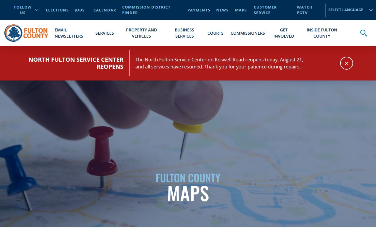
Those added layers help distinguish a postal neighborhood from a parcel's tax and civic geography.
Sandy Springs Streets Meet Deeds
A parcel card supplies the current owner and legal description. The GSCCCA Real Estate Index then searches by name, property details, or county book and page. Filters include county, date, party type, and instrument type. Results expose indexed parties, property data, and instrument references. The statewide baseline begins January 1, 1999, while historical additions continue.
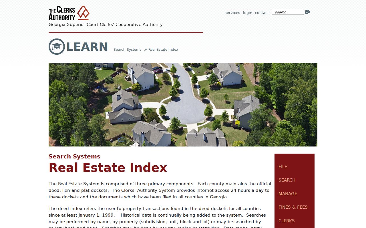
The official explanation shows why a deed search begins with a recorded party or book reference, not just a current mailing label.
- Grantor
- The party transferring an interest.
- Grantee
- The party receiving that interest.
- Plat
- A recorded drawing of lots, lines, and dimensions.
- Situs address
- The physical location of the parcel.
Fulton Records Behind Each Street
The Fulton Clerk Real Estate Division holds deeds, liens, plats, surveys, condominium plans, UCC filings, and trade names. Its records room is at 136 Pryor Street SW in Atlanta, and the phone is 404-613-5313. Older material may require physical books and local indexes, since 1999 is a statewide baseline rather than a verified Fulton start date.
The counter is the fallback for a plat or deed image that a web account does not expose. Carry the county, party spelling, book and page, parcel number, and date range when asking for help.
Sandy Springs Permits by Address
Sandy Springs incorporated on December 1, 2005, so the permit trail splits there. Search OpenGov for city-era projects by permit type, date, address, permit number, or project name. Results may include a record number, project address, status, dates, inspections, attachments, owner, applicant, or contractor. Visibility varies by file.
OpenGov launched July 3, 2024, and active permits moved into it on July 8. For pre-incorporation construction and certificates of occupancy, ask Fulton County. A permit dates work and identifies project roles. It does not prove who lived there.
Lawful Sandy Springs Voter Streets
Georgia My Voter Page is an authenticated self-service tool, not a street browser. The official voter file is the lawful by-street route. Its schema includes residence number, direction, street, type, unit, city, ZIP, municipality, precinct, and district fields. It omits full birth dates, phones, Social Security numbers, and driver-license numbers.
Use the narrowest file. A municipal file costs $65 under the researched schedule. Delivery takes about two weeks. Commercial use is prohibited by O.C.G.A. §21-2-601, and O.C.G.A. §21-2-225 protects specified personal fields.
VoteSafe and Safe at Home can mask a qualified participant's residence. A missing address therefore cannot prove that a person is absent from Sandy Springs.
Sandy Springs Street Address Variants
In March 2026, USPS approved Sandy Springs as the preferred last line for city addresses in seven ZIP codes, excluding 30092. Older deeds and directories may still say Atlanta, Dunwoody, Roswell, or unincorporated Fulton County. Search the number and street without a city, then repeat with each known last line.
Parcel number, land lot, district, subdivision, and legal description preserve continuity when the postal city changes. For older occupant work, the historical city directory collections explain the Atlanta suburban and Haines shelves without turning a current street search into a genealogy project.
Sandy Springs Street Directory History
Modern parcel sources do not answer an older question: who occupied this address in a past year? Fulton County Library's Central Special Collections holds Haines Criss-Cross volumes from 1946 through 2016/17. The series is arranged from address to name, making it the historical counterpart to a current street directory. Atlanta suburban directories cover 1953 through 1986, and annual Atlanta directories continue through 1991. Sandy Springs Branch offers public computers and database access, but the documented physical run is at Central Library.
Start with the closest Haines year and inspect the volume's abbreviation key. Record the printed occupant, any owner or renter mark, phone notation, and immediate neighbors. Then check a year before and after. The comparison can bracket a move, but it cannot fix an exact move date. For a full name-first verification, pivot to the annual alphabetical volume or a released census schedule.
Address-first means historical. A criss-cross entry captures one publication cycle. It should not be read as a current Sandy Springs household list, even when the volume itself is fairly recent.
Because Sandy Springs did not exist as a city until 2005, the shelf may label the same area as Atlanta or suburban Fulton. Search the street under each likely geography. Keep the house number, nearby names, and parcel legal description together so the street directory result can be tied back to the correct land.
Sandy Springs Property Record Routes
The Georgia Department of Revenue county property directory gives an official route back to Fulton records if a saved portal link changes.
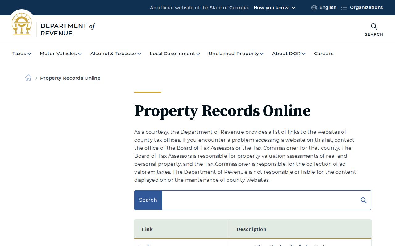
The state directory confirms the proper county custodian, while Fulton remains responsible for parcel details and corrections.
Limits of Sandy Springs Street Records
Property rolls name owners, not every occupant. Deeds document interests in land. Permits document work. A voter file covers registered voters under its own rules, while reverse directories are dated snapshots. None is a complete current household list. Utility customers do not form a public resident roll, and federal driver privacy law closes ordinary access to DMV address data.
Check dates and roles before joining names across records. A mailing address may belong to a nonresident owner, and an applicant may only be a contractor. If an address record is not online, make a focused Georgia Open Records Act request. Name the custodian, record series, date range, address variants, and preferred electronic format.
Lawful use. Use address records for family history, property research, civic questions, or personal safety. Never use them to stalk, harass, intimidate, or harm a person.
Request Sandy Springs Address Records
When a portal returns nothing, first decide whether the record belongs to the city or county. Sandy Springs keeps city-created permits, code matters, council records, and post-incorporation administrative files. Fulton keeps the parcel roll, deeds, plats, many older permits, court files, elections material, and county-era records. Sending the same broad request to both offices wastes time and may miss the correct series.
For a city record, begin with the Sandy Springs records and open-records page. It routes permit searches, police reports, maps, public meetings, and other requests to the right channel. Material not already posted goes through JustFOIA. The city charges qualified staff time after the first 15 minutes and may charge for copies or media. A written request creates the clearest record of what was asked and when.
Write a narrow request. Name the exact street address, legacy city names, record type, and date range. Ask for electronic copies when available. Agencies may redact protected details and need not create a new street directory or compile a custom household list.
Under the Georgia Open Records Act, a custodian ordinarily responds within three business days by producing available records, giving a production schedule and cost estimate, or explaining the legal basis for withholding. If the portal failed because an older record was never migrated, ask whether staff can search a legacy database, paper index, or archived permit system. For deeds, provide book and page. For permits, add the parcel number and project type. Precise identifiers reduce search time and make a useful response more likely.
Keep the response beside the parcel card and map capture. Portal data changes, so a dated copy preserves what the custodian supplied and makes later street-directory checks easier to audit.