
Sandy Springs ZIP Directory Coverage
Eight confirmed ZIP codes serve at least part of Sandy Springs. They divide mail routes, not local government. Several extend well beyond the city, and some small parts of the municipality sit inside codes more closely tied to Atlanta, Dunwoody, Roswell, Vinings, or Peachtree Corners in everyday speech. Use the areas below as search anchors, then confirm the exact parcel against the city-limit layer.
| ZIP Code | Areas Covered | Post Office | Notes |
|---|---|---|---|
| 30319 | Far southeast and medical/Brookhaven edge | Not confirmed | Much lies outside the city |
| 30327 | Mount Paran, Powers Ferry, Riverside-Chastain edge | Not confirmed | Largely Atlanta outside the city |
| 30328 | City Springs, Hammond, Mount Vernon, central Perimeter | Sandy Springs, 230 Hammond Drive, Suite G | Principal city code, not the city boundary |
| 30338 | East and Perimeter areas | Dunwoody and Perimeter Center stations | Crosses into Dunwoody |
| 30339 | Southwest Perimeter, Powers Ferry, Vinings/Cumberland edge | Not confirmed | Mostly outside city or across county |
| 30342 | Medical Center, Glenridge, Peachtree-Dunwoody | Glenridge, 5400 Glenridge Drive | Extends into Atlanta and North Buckhead |
| 30350 | North End, Northridge, Roswell, Morgan Falls | North Springs, 7527 Roswell Road | Extends toward Roswell |
| 30092 | Small northeast edge near Peachtree Corners and Norcross | Not confirmed | Excluded from the 2026 preferred-name change |
No PO-box-only or unique institutional ZIP was confirmed for the city. Nor did the research find official city-only population or voter totals for each postal code. Census ZIP Code Tabulation Areas are useful estimates, but their shapes and counts can include land outside Sandy Springs.
Seven Sandy Springs ZIP Names
On March 11, 2026, USPS approved Sandy Springs as the default preferred last line for municipal addresses in seven 303xx codes: 30319, 30327, 30328, 30338, 30339, 30342, and 30350. The decision followed nearly twenty years of local advocacy. It changed the preferred mailing name for qualifying city addresses. It did not create a code, move a boundary, or convert every address in those broad ZIP areas into Sandy Springs.
The city's official USPS announcement lists the seven codes and the key exception. The captured announcement appears below.

This change explains why new mail and old public indexes may use different city names for the same street address.
Sandy Springs ZIP 30092 Exception
The small northeast portion served by 30092 remains outside the seven-code preferred-name approval. The official announcement excludes it, but the research did not publish a more detailed USPS reason. Do not fill that gap with a guess. For an address near Peachtree Corners or Norcross, verify the deliverable last line through USPS and determine municipal status in Sandy Springs GIS as a separate step.
30328 Sandy Springs Directory Core
ZIP 30328 covers City Springs, Hammond, Mount Vernon, and much of the central and Perimeter area. The Sandy Springs Post Office is at 230 Hammond Drive, Suite G, and the recorded phone is 404-255-7624. This is the principal city code, yet its boundary still cannot stand in for the municipal line.
Public landmarks show why the last line alone can confuse a search. Dunwoody MARTA station is published at 1111 Hammond Drive, Sandy Springs 30328, despite its familiar station name. Search the street number and road first when names vary, then preserve the postal code and parcel key when moving between systems.
Sandy Springs ZIP Edge Areas
The southern edge uses several ZIP codes shared with places outside the municipality. Code 30319 reaches toward Brookhaven, 30327 covers much Atlanta territory around Mount Paran and Chastain, and 30342 extends into North Buckhead. On the Perimeter side, 30338 crosses Dunwoody and 30339 runs toward Vinings and Cumberland. Code 30350 extends north toward Roswell.
A mailing name can therefore be correct while the assumed custodian is wrong. The city handles its own post-incorporation permits and code matters, but Fulton County maintains parcels and deeds for addresses inside Sandy Springs. For a parcel outside the city line, the responsible municipal office may change even though the ZIP stays the same.
Search Sandy Springs Residents by ZIP
No official public portal produces a complete ZIP-wide list of Sandy Springs residents. USPS verifies mail data, not people. Fulton assessor QPublic publishes owner, address, parcel, and advanced search modes, but its documented front end does not promise a ZIP filter. The city permit portal is address-keyed. Fulton and city maps can display ZIP areas, while a lawfully obtained Georgia voter-file CSV contains a ZIP field that can be filtered under its use limits.
- Enter the full street address in the USPS tool to verify the deliverable code and preferred last line.
- Open the city-limit and ZIP Code Area layers to decide whether the point lies inside Sandy Springs.
- Use the Fulton parcel viewer for the situs address, parcel identity, and nearby lot context.
- Search QPublic by owner, street address or range, or parcel number rather than assuming a ZIP-wide mode.
- If a lawful voter-data purpose applies, filter the acquired file by ZIP and observe Georgia's restrictions.
Once the area is narrowed, the Sandy Springs street directory explains the address-level record chain. Keep ownership distinct from residence: a tax roll identifies a parcel owner and mailing address, not every occupant.
| Tool | Accepted starting point | What it confirms |
|---|---|---|
| USPS ZIP Lookup | Complete address | Deliverable ZIP and preferred last line |
| Sandy Springs GIS | Mapped address or layer | City limit and ZIP-area context |
| Fulton parcel viewer | Address or map point | Tax situs, parcel, and geographic context |
| Fulton QPublic | Owner, address/range, parcel | Property owner and parcel facts |
The USPS lookup is the official first check for postal formatting.
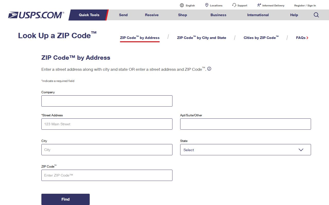
Its answer should be paired with GIS when the question is whether the location falls within Sandy Springs.
Search Sandy Springs Legacy ZIP Records
Older deeds, directories, permits, and licenses may retain Atlanta, Dunwoody, Roswell, or another postal style. Start with the street number and name without a city term, then repeat the search with each known last line. Preserve the ZIP, parcel number, and legal description. Those fields provide continuity when a mailing label changes.
Sandy Springs incorporated on December 1, 2005 after a long local effort. That date determines whether many municipal records are likely to sit with the city or Fulton County, but it is separate from the 2026 postal change. The city's history explains the service transition.
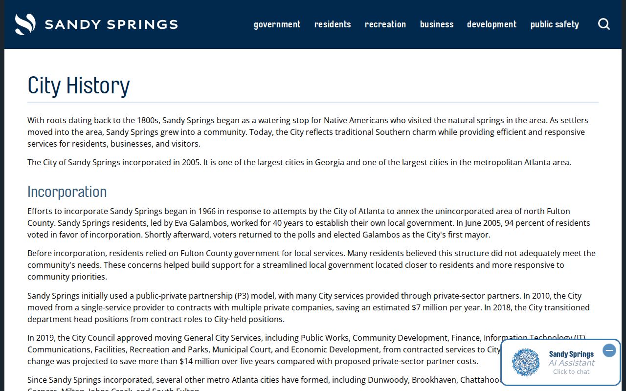
The incorporation story helps identify the custodian year, while the postal announcement explains newer address labels.
Compare Sandy Springs ZIP Boundaries
ZIP areas serve mail routes. Sandy Springs city limits define municipal jurisdiction. Census ZCTAs approximate postal geography for statistics. These layers answer different questions and should not be substituted for one another. The city GIS includes both a Zip Code Area layer and a City Limit layer, while Fulton maps add parcel context. A city-and-state ZIP lookup cannot decide whether a specific lot lies inside Sandy Springs.
- ZIP code
- A five-digit mail-routing area that may cross a city or county line.
- ZIP+4
- A more precise postal code segment used to sort a smaller delivery group.
- ZCTA
- A Census approximation of a ZIP area used for statistics, not an exact USPS boundary.
- Carrier route
- A postal delivery path within a code, not a resident list or city district.
Situs means the property's physical location. A mailing address is where correspondence goes, and a legal description identifies land in a deed. The parcel number is the tax system's key. When the layers disagree, use each for its proper task.
Sandy Springs ZIP Geography Over Time
The city's six planning focus areas, Greater City Springs, Central Perimeter, North End, Powers Ferry, Neighborhood Village, and Crossroads, can sharpen archive and newspaper searches. They are planning terms, not postal codes. The 20th-anniversary exhibit gathers early-city photographs and community items that show how residents described the young city before the preferred mailing name changed.
The Sandy Springs anniversary exhibit provides that municipal-memory context.
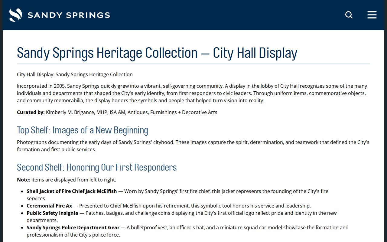
Neighborhood and planning names can recover older local references, but the ZIP code directory remains a postal starting point rather than a complete account of community identity.