
Sandy Springs Neighbors by Source
Official systems describe parcels, owners, registered voters, permits, and mapped civic areas. None is a complete household roll. A Sandy Springs neighbors search works best when the source is matched to the question: use GIS for adjacency, the assessor for administrative ownership, the voter file for lawfully acquired registration rows, and the library's reverse directories for past occupants.
| Source | What It Shows About a Block | Access |
|---|---|---|
| Fulton Property Map Viewer | Parcel shapes, adjoining lots, owners, mailing fields, acres, subdivision, lot and block | Free map click and address search |
| Fulton assessor | Consecutive addresses, owners, situs and mailing addresses, homestead flag | Free address or range search |
| Official voter file | Registered-voter rows with parsed residence street fields | Paid statutory file with use limits |
| Sandy Springs GIS | City limits, neighborhood and association polygons, council and zoning districts | Free layers and open-data export |
| Permits and code records | Work, applications, inspections, and enforcement tied to an address | OpenGov or records request |
| Haines Criss-Cross | Historic occupants printed in street sequence | Central Library, 1946 through 2016–17 |
An owner may live elsewhere, use a trust, or receive tax mail at another address. A homestead indicator is stronger owner-occupancy evidence, but it still does not identify every member of a home. The safest wording is exact: “parcel owner,” “registered-voter record associated with the address,” or “mapped association area.”
Map a Sandy Springs Block
The Fulton County Property Map Viewer can move from one known address to nearby polygons. Its documented interface supports address or tax-parcel search, map identification, layers, and an attribute table. There is no documented one-click consumer radius tool, so define the immediate block through visible adjacency and cadastral detail.
- Enter the address and select the correct Address or Tax Parcel result. Confirm the situs and parcel ID before moving outward.
- Turn on parcel and address labels. Zoom until side, rear, and across-street parcels are distinct.
- Click each adjoining polygon. Record parcel ID, situs, owner, owner mailing fields, subdivision, lot, block, acres, and exemption.
- Check the assessor card for the same parcel. Use mailing and homestead fields as context, never as a complete household list.
- Use subdivision lines and lot dimensions to define the logical block instead of choosing homes by visual guesswork.
The published parcel layer also carries tax year, zoning, appraisal, class, neighborhood, subdivision, and geometry fields. That makes it useful for comparing adjoining parcels without implying that every owner is an occupant. For an entire named road rather than the immediate block, follow the Sandy Springs street directory workflow.
The city neighborhood checklist provides the civic context for identifying the local community layer.
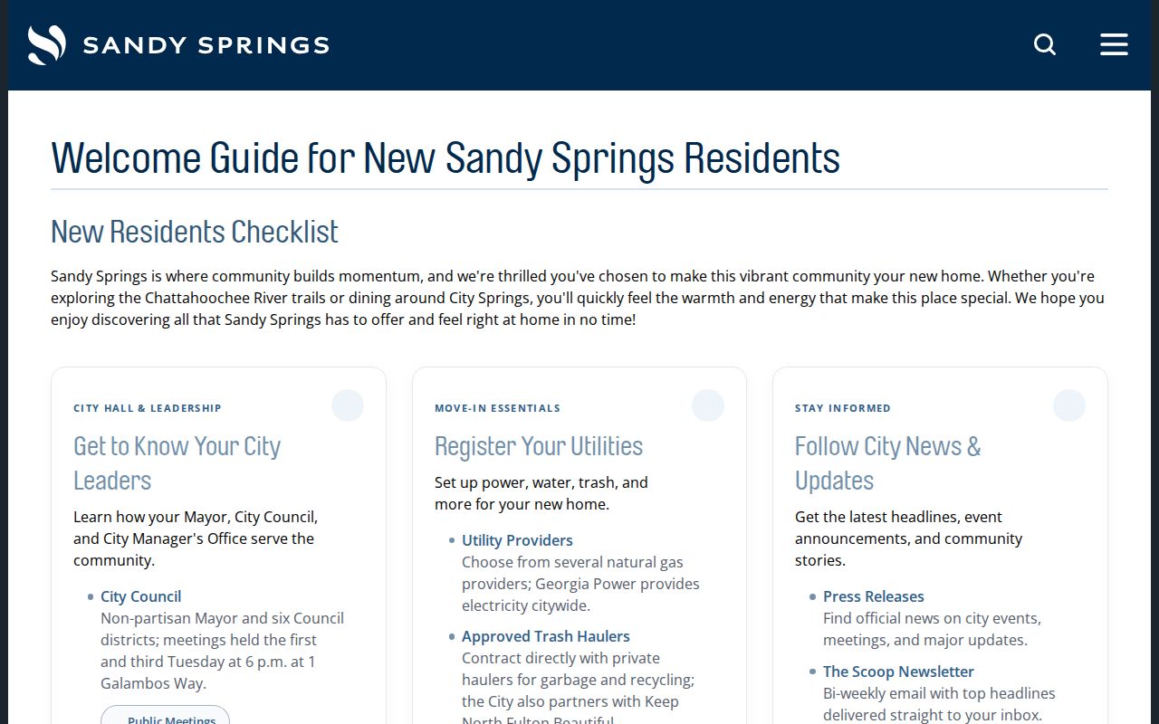
That civic source complements parcel facts, but it does not turn a neighborhood name into a resident roster.
Sandy Springs Neighborhood Boundaries
The Sandy Springs Neighborhoods GIS layer maps civic, condo, neighborhood, and homeowners association areas. It includes a name, type, district, council district, and geometry. The data can be queried and exported in formats such as CSV, GeoJSON, shapefile, and geodatabase. Some names appear in more than one polygon, and an area can cross a council boundary, so a polygon count is not a count of active groups.
Representative mapped names include Bakers Glen and Four Seasons Civic Association in District 1; Huntcliff and River Ridge Forest in District 2; Aberdeen Forest, Glenridge Hammond, Dunwoody Springs Community, and Riverside Estates in District 3; Spalding Woods and The Branches in District 4; High Point, Ridgeview, and Forest Hills in District 5; and Heards Ferry, Riverside, Chastain Park Civic, and Cherokee Park Civic in District 6. Northridge Community Association is another documented local group.
| Mapped layer | What it can establish | What it cannot establish |
|---|---|---|
| Neighborhood polygon | An address falls within a named mapped area | Membership or current leadership |
| Council district | The civic district around the parcel | A resident's political view |
| Association type | How the city dataset classifies the area | Whether dues or rules apply to a given owner |
No authoritative public member directory was found for these groups. Verify public officers on an association's own current page before sharing contact details.
Sandy Springs Leadership Is Not Neighbors
Association pages, chamber lists, council biographies, and public community contacts document affiliations. They do not enumerate households. The Greater Perimeter Chamber member directory, for example, exposes organizations, business addresses, and phone numbers. Council biographies can confirm public ties to Northridge Community Association, Autumn Chace HOA, or American Legion Post 140, but not a private membership roll.
Congregation lists, block-watch contacts, delivery records, utility accounts, and HOA rosters remain private unless their owners voluntarily publish them. Even then, voluntary participation makes the list incomplete. Use leadership details to contact an organization about a public matter, not to infer who occupies each home.
Note: Association geography can name a community around a parcel, but the mapped boundary is not proof that a household joined the group.
Sandy Springs Voters by Block
Georgia My Voter Page is not a neighbor browser. It authenticates one voter using personal details and returns that voter's status, polling place, districts, absentee information, sample ballot, and participation history. The block-level route is the official voter file ordered through the Secretary of State, not repeated guesses in the self-service portal.
The purchased file includes parsed residence number, direction, street, type, unit, city, ZIP, precinct, districts, status, birth year, registration date, and participation dates. It omits full birth dates, Social Security numbers, driver-license numbers, and phone numbers. Georgia voters do not register by party, and a last-primary field never reveals a ballot choice.
O.C.G.A. §21-2-225 opens elector name and address lists, while §21-2-601 prohibits commercial use. A lawful block view remains incomplete because it excludes minors, noncitizens, unregistered people, protected voters, and anyone registered elsewhere. The Fulton Registration and Elections office handles county voter services.
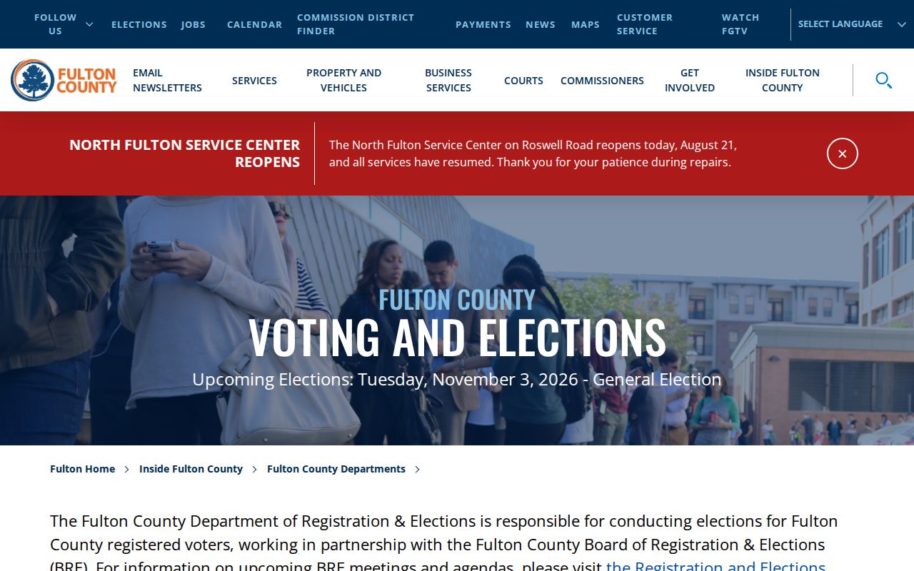
This county channel helps with official access questions, but it should never be described as a complete list of Sandy Springs neighbors.
Past Sandy Springs Neighbors
For historical block research, Haines Criss-Cross directories arrange addresses in street order and identify occupants for the Atlanta area from 1946 through 2016–17. The physical run is documented at Fulton County Library's Central Special Collections. Older Sandy Springs addresses may appear under Atlanta or an Atlanta-suburban heading because the city did not incorporate until 2005.
Start with the street and number, read the entries just before and after it, and inspect that volume's abbreviation key. Then compare nearby lots on a Fulton tax plat or the modern parcel map. Reverse directories show a named occupant in a printed year; deeds and tax plats show owners. Neither should be silently substituted for the other.
Permits add dates for work but not household proof. Sandy Springs OpenGov covers the post-incorporation city channel and changed systems in July 2024. Pre-December 2005 permit or certificate-of-occupancy records belong with Fulton County. A focused open-records request can recover an address record that the current portal does not expose.
Sandy Springs Neighbor Tool Choices
Official records and commercial compilation tools serve different purposes. The official source identifies the custodian, date, and meaning of each field. A commercial neighbor tool may join public and private data, but its matches can be stale, merged, or stripped of context. Do not link or recommend the commercial category as evidence.
| Choice | Strength | Main limit |
|---|---|---|
| Official parcel and assessor records | Named keeper, parcel ID, dated administrative fields | Owners are not all occupants |
| Official voter file | Defined schema and statutory access route | Incomplete households and strict use rules |
| Library reverse directory | Address-first historical snapshot | Printed year only, not current |
| Commercial compilation | May suggest another spelling or old lead | No authoritative custody; stale or merged identities |
Return to the parcel, election office, library volume, clerk, or city custodian before stating a fact about one of your neighbors.
Sandy Springs Block Record Requests
Permit and code records can show work, inspections, applicants, owners, contractors, or enforcement at an address. They do not prove who slept there. If OpenGov lacks an older city record, use the Georgia Open Records Act request process and name the address, record series, date range, and electronic format sought.
An agency ordinarily responds within three business days by producing available records or identifying a timetable, cost, and exact exemption. It need not create a list that does not exist. Protected data can be redacted while public portions are released. Route pre-incorporation permits to Fulton and later city permits to Sandy Springs.
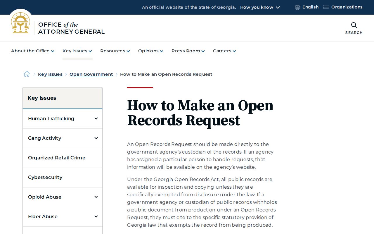
The state guidance helps frame a narrow request without asking a custodian to compile a private household directory.
Protect Sandy Springs Neighbors
Renters, children, guests, and household relationships are not public fields in the current parcel map. VoteSafe can protect an eligible voter's residence information, while Safe at Home provides a broader substitute-address and mail-forwarding program for qualified survivors and at-risk people. Other redactions cover Social Security numbers, financial and medical details, parts of birth dates, and specified protected officials' home information.
An apparent blank must never be used to infer that someone is enrolled in a protection program. Trusts, companies, absentee owners, normal record lag, and suppression rules can all produce gaps. A privacy-respecting neighbor lookup publishes the method and official layers rather than compiling a named household list.
Lawful use. Research a block for civic knowledge, history, or personal safety. Never use public records to watch, harass, intimidate, or harm your Sandy Springs neighbors.